The ocean
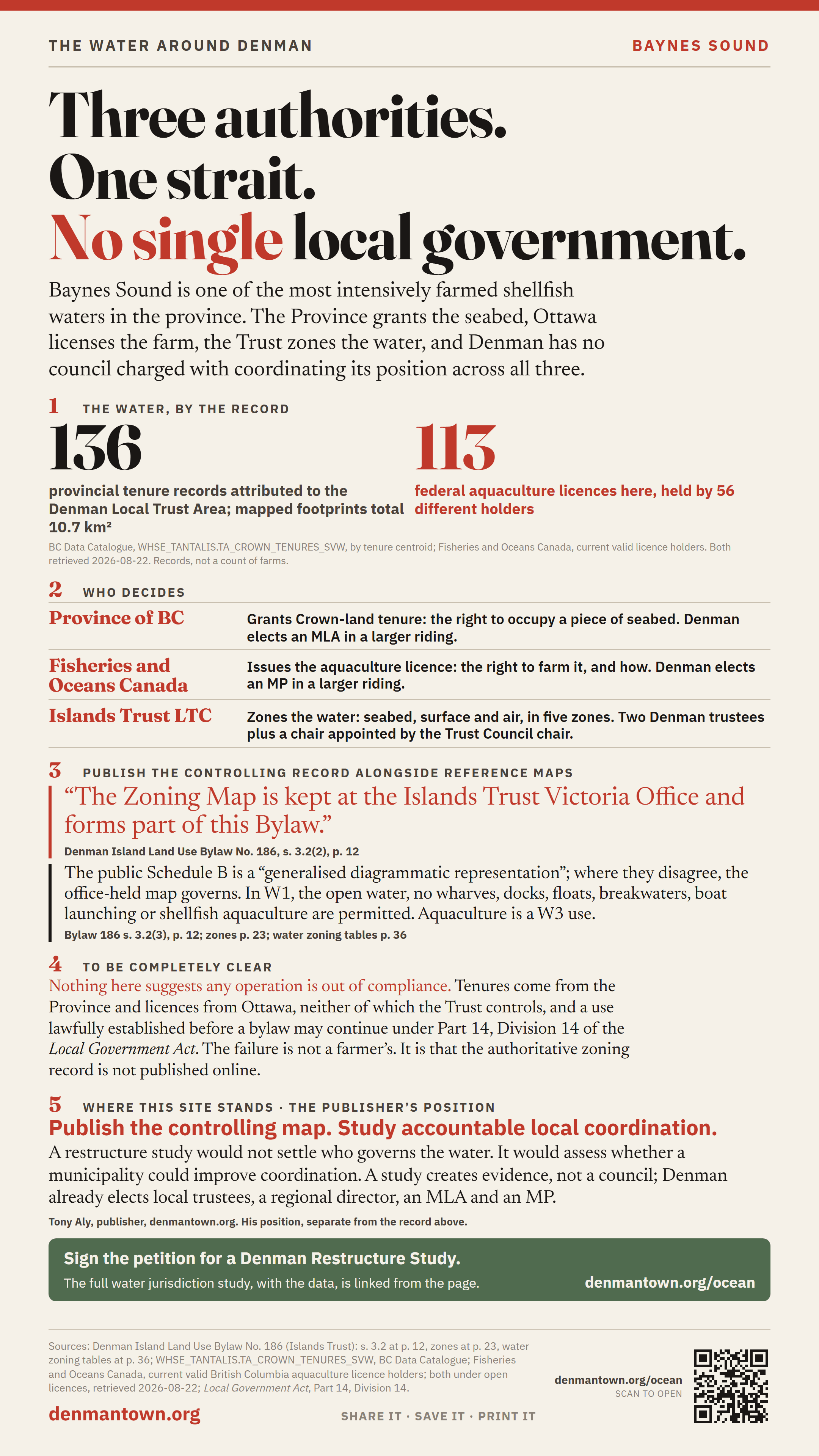
Three authorities. One strait. No single local government.
Baynes Sound is the water between Denman and Vancouver Island, and it is one of the most intensively farmed shellfish waters in the province. Three public authorities divide tenure, operational licensing and local zoning. Denman has no municipal council charged with coordinating its position across all three.
Looking for the island’s drinking water — the aquifer, the wells, the licences? That is on the water page.
Who decides
| Who | What they decide | Who elects them |
|---|---|---|
| Province of British Columbia | Grants Crown-land tenure — the right to occupy a piece of seabed. This project's centroid method attributes 136 provincial tenure records to the Denman Local Trust Area. | Denman voters elect an MLA in a larger provincial riding. |
| Fisheries and Oceans Canada | Issues the aquaculture licence — the right to farm it — and sets species, methods and conditions. 113 licences here, held by 56 different holders. | Denman voters elect an MP in a larger federal riding. |
| Islands Trust — Denman Local Trust Committee | Zones the water. Its bylaw applies to the seabed, the sea surface and air spaces, and defines five water zones with different rules. | Two Denman-elected trustees, plus an Executive Committee member appointed by the Trust Council chair. |
Tenures: WHSE_TANTALIS.TA_CROWN_TENURES_SVW, BC Data Catalogue. Licences: Current valid British Columbia aquaculture licence holders, Fisheries and Oceans Canada. Both under open licences; both retrieved 2026-08-22.
What the bylaws claim: the seabed, the surface, and the air
Trust land use bylaws do not stop at the shore. Two drafting formulas recur, near word-for-word, across local trust committees that share no staff report and no meeting — which is what makes it a house style rather than one island’s overreach. Denman’s is the first:
“This bylaw applies to the entire area of land, all other islands and islets, rocks, reefs, the seabed, and sea surface plus any other water surface area and all air spaces within that part of the … Local Trust Area…”
Eight local trust areas claim the air — not the airspace over their islands, the air above the open sea. Ballenas-Winchelsea goes furthest, naming the water column itself: “the surface and bed of the sea and the water column, and all air space above all such land and water areas.”
Denman Land Use Bylaw No. 186, p. 3; Gabriola No. 177, p. 7; Thetis No. 89, p. 3; Mayne No. 146, p. 19; North Pender No. 224, p. 18; South Pender No. 114, p. 14; Lasqueti No. 78, p. 9; Ballenas-Winchelsea No. 28, p. 15. Every quotation read back against its source.
How far it reaches — and where that edge is written down
Galiano and Saturna say it outright, in identical words: marine zones extend from the natural boundary of the sea to the boundary of the local trust area as described in Schedule A to the Islands Trust Regulation. Not a distance. Not a contour. The edge of the trust area itself. Salt Spring’s bylaw shows how far that runs: its shoreline zoning covers the entire local trust area except Crown foreshore within 300 metres of Vancouver Island — a carve-out that only makes sense if the zoning otherwise crosses the strait.
So where is Schedule A? It is headed “Local Trust Area Boundaries”. Here is its entire content:
“Maps are exempt from publication and may be inspected at the offices of the Ministry of Municipal Affairs, 800 Johnson Street, Victoria, B.C. V8W 9N7, during regular office hours.”
Denman adds a second layer of the same problem one level down. Bylaw 186 s.3.2 says the zone boundaries live on “a computer record” — the Zoning Map — kept at the Islands Trust Victoria Office, and that the published Schedule B is a “generalised diagrammatic representation” which the office-held map overrides wherever they disagree.
The Trust does publish reference maps and downloadable zoning GIS, so it is wrong to say the public has no map. What the public cannot do is verify online that those references match the records the regulation and the bylaw say actually govern. The publishable demand is simple: put the controlling versions online, with their date, scale and revision history, and say how they relate to the public GIS.
Islands Trust Regulation, B.C. Reg. 119/90, Schedule A (verified twice, independently, 22 August 2026): read it. Denman Bylaw 186 s.3.2 at p. 12; Galiano No. 127 s.4.6 at p. 14; Saturna No. 119 s.3.2.5 at p. 17; Salt Spring No. 355 s.9.11 at p. 120.
The courts have not blessed that boundary. They have never been shown it.
Be clear about what is settled, because it is settled against the easy version of this argument. A local government in British Columbia may zone the foreshore and the waters over it, and the two leading authorities are both Islands Trust cases, both upheld on appeal: Salt Spring Island Local Trust Committee v. B & B Ganges Marina Ltd. (2007) and North Pender Island Trust Committee v. Hunt (2008). Anyone telling you these water bylaws are beyond the Trust’s power is wrong.
The live point is different, and narrower. In every judgment we have read, not one cites B.C. Reg. 119/90 or refers to Schedule A. The outer boundary has never been in issue because no litigant has ever put it in issue. In Hunt the location of a zone line was proved the ordinary way — by filing the zoning maps in evidence — and the judge noted “an irregularity in the various zoning maps”. A line of cases confirming these bylaws are valid and enforceable over water is a reason the boundary should be published, not a substitute for publishing it.
Nor is any of this unlawful. Regulations may lawfully exempt maps from publication. The argument here is about accountability, not validity.
Five water zones, and what W1 actually permits
Denman Island Land Use Bylaw No. 186 divides the water into five zones — W1 Marine Conservation, W2 Marine Service, W3 Aquaculture, W4 Marine Protection, W5 Lakes.
In W1, the zone covering the open water, the complete list of what is permitted is: public utilities, non-commercial boat anchorage and moorage, marine parks, marine navigation aids, moorage buoys accessory to an adjacent upland use, and signs. No wharves. No docks. No floats, ramps or pilings. No breakwaters. No boat launching. And no shellfish aquaculture — that is permitted only in W3.
Bylaw 186: zones at page 23, water zoning tables at page 36. Read it.
136 provincial aquaculture tenure records are attributed to this LTA
Using each tenure geometry’s centroid, this project attributes 136 provincial aquaculture tenure records to the Denman Local Trust Area. Their mapped footprints total 10.7 km². These are tenure records, not a count of distinct farms. Aquaculture is permitted in W3 and not in W1.
To be completely clear, because it matters: nothing here suggests any operation is out of compliance. Tenures are granted by the Province and licences by Fisheries and Oceans Canada, neither of which the Islands Trust controls, and a use lawfully established when a bylaw was adopted may continue subject to Part 14, Division 14 of the Local Government Act. The industry’s age does not establish any individual tenure’s legal status. The problem described here is not a farmer’s. It is that the authoritative zoning record is not published online.
Why this belongs on a petition about local government
Marine questions can require coordination between a federal licensor, a provincial landlord, and a land-use body with no marine operations role. And the one local rule that does exist is anchored to a controlling record the public cannot compare online with the published references.
A restructure study could examine whether a municipal council would improve local coordination. A study would not itself create a council or transfer powers, and Denman’s elected trustees and regional district director can already raise marine concerns.