The island’s water
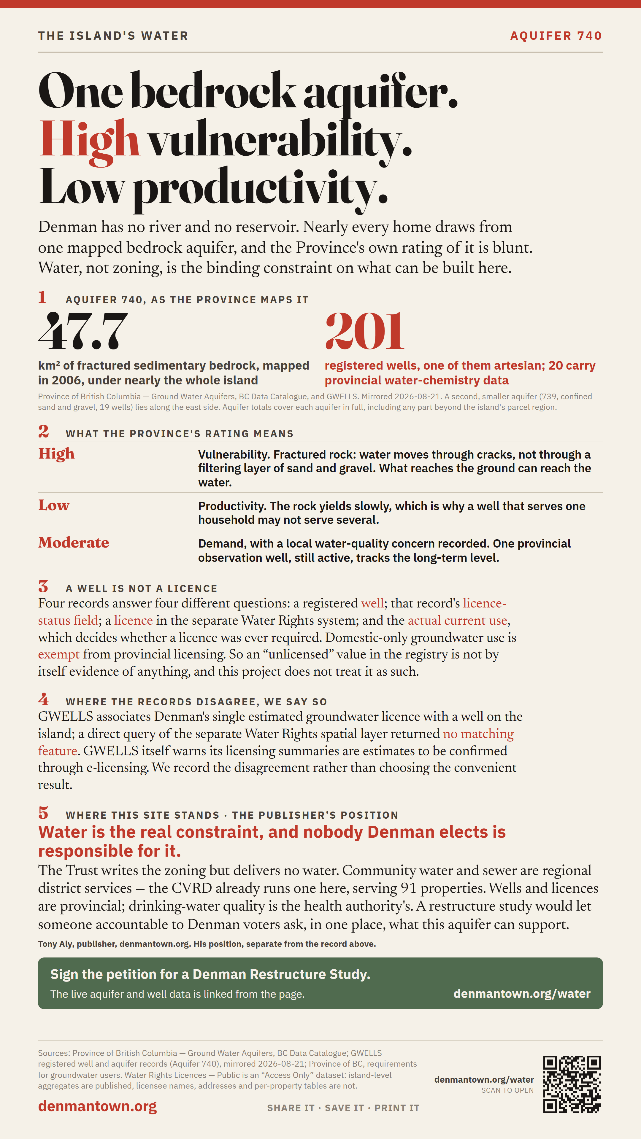
One bedrock aquifer. High vulnerability. Low productivity.
Denman has no river and no reservoir. Nearly every home on the island draws from one mapped bedrock aquifer, and the Province’s own rating of it is blunt: high vulnerability, low productivity, moderate demand. Everything that gets built here, and everything that gets refused, comes back to that.
Looking for the sea — tenures, aquaculture and the Trust’s marine zoning? That is on the ocean page.
Aquifer 740, as the Province maps it
| Extent | 47.7 km², mapped 2006 |
|---|---|
| Material | Bedrock — Fractured sedimentary rock |
| Vulnerability | High |
| Productivity | Low |
| Demand | Moderate |
| Water-quality concern | Local |
| Registered wells | 201 (1 artesian) |
| Wells with provincial water-chemistry data | 20 |
| Provincial observation well | #268 (Active) — long-term water levels |
| Estimated groundwater licences | 1 |
| Mapped parcels over it | 717 |
Province of British Columbia — Ground Water Aquifers, BC Data Catalogue, mirrored 2026-08-21. Aquifer 740 on GWELLS. Aquifer totals cover the aquifer in full, including any part outside the island’s parcel region.
What “high vulnerability” means here. It is fractured sedimentary rock: water moves through cracks rather than through a filtering layer of sand and gravel. What reaches the ground can reach the water. Low productivity means the rock yields slowly — which is why a well that serves one household may not serve several, and why proven water is the real constraint on building, not zoning alone.
A well is not a licence, and “unlicensed” is not a finding
This is the distinction most likely to be got wrong, so it is stated before any number is used. Four separate records are involved, and they answer four different questions:
- a registered well in the Province’s GWELLS database;
- that well record’s own licence-status field;
- a water licence in the separate Water Rights system;
- the actual current use of the water — which is what decides whether a licence was ever required.
Groundwater used only for domestic purposes is exempt from provincial licensing. Non-domestic use — a business, irrigation, a waterworks — generally requires a licence or use approval. So an UNLICENSED value in the well registry is not by itself evidence of anything, and this site does not treat it as such.
The records also disagree with each other. GWELLS associates Denman’s single estimated groundwater licence with a well on the island; a direct query of the separate Water Rights spatial layer returned no matching feature. GWELLS itself warns that its licensing summaries are estimates that should be confirmed through provincial e-licensing. We record the disagreement rather than choosing the convenient result.
The other aquifer, and one that is not Denman’s at all
Aquifer 740 is not the only record here. The Province also maps Aquifer 739, “Denman Island - east” — a confined sand-and-gravel body of about 4 km² along part of the east side, rated moderate vulnerability and low productivity, with 19 registered wells, no groundwater licences, and 212 mapped parcels over it. Sand and gravel behaves differently from fractured rock: it filters more, and it is confined rather than open to the surface. Aquifer 739 on GWELLS.
A third record, Aquifer 1293 — “East of Comox Lake, south of Courtenay”, is attached to a single Denman parcel by our own parcel-assignment method. It is a mainland aquifer and not a Denman water source, and it is named here only so the arithmetic below is checkable rather than mysterious.
Two well counts, and why they are not interchangeable
Aquifer 740 itself reports 201 registered wells. A wider count — every aquifer record assigned to a Denman parcel — reports 254, which is 201 + 19 + 34, that last figure belonging to the mainland aquifer. Both totals are real; they measure different things, and the larger one must never be quoted as Denman’s.
Counts use stored parcel-region membership. They are not an island-only geographic wells census: aquifer totals cover each aquifer in full, including any area beyond the parcel region. Provisional all-island snapshot refreshed from GWELLS on 25 August 2026.
What this page will not publish
The Province licenses its water-licence dataset as “Access Only”. We may query it and publish island-level aggregates. We do not republish licensee names, mailing addresses, or a per-property table of who holds what — and no individual property’s well or licence identifier appears here.
If you want to know your own property’s position, the provincial records are public and searchable by parcel: start at GWELLS for wells and the Province’s water rights databases for licences. Whether your use needs a licence is set out in the Province’s requirements for groundwater users.
Why the island’s water belongs on a petition about local government
Water is the binding constraint on housing here, and no single body Denman elects is responsible for it. The Islands Trust writes the zoning but delivers no water. Community water and sewer systems are regional district services — the Comox Valley Regional District already runs one on Denman, the Graham Lake Water Local Service Area, serving 91 properties and about 200 residents. Wells and licences are provincial. Drinking-water quality is the health authority’s.
A restructure study would not create a water system. It would let someone accountable to Denman voters ask, in one place, what this aquifer can actually support and what it would cost to serve the village — instead of the question falling between four authorities.